An
unearthly howling pierced through the fog of sleep that enshrouded my brain
until I was suddenly and abruptly awake. For at least a minute I strained to
see where the noise was coming from and what was making it. I finally realized
it must be a pack of coyotes. Knowing
that the chance they would want to feast on stringy cyclist was minimal I made
myself comfortable and fell back asleep.
The
grayness of morning woke me and I set to my morning ritual of packing all my
gear into my bike bags. This done, we coasted over to the restaurant for
breakfast. While we waited on our food I looked at the map. We had a good 50-60
miles into Salida over mostly flat terrain. I hoped we could get there by
around lunch, where we could get some good food as well as a new rear tire for
my bike. We set off into the sun which was just starting to get higher in the
sky. We covered mile after mile of mostly empty and wide-open country.
 |
| Long shadows in the early morning |
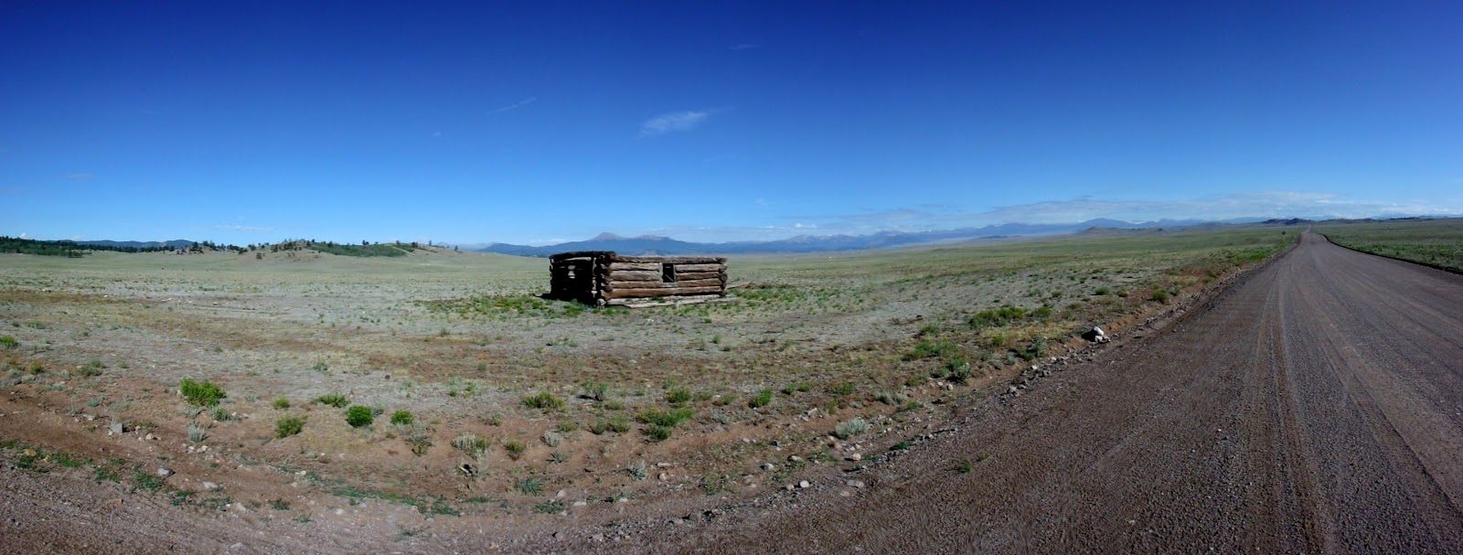
The
terrain was relatively flat so we made good time until we hit the watershed
divide we had to cross to make it to Salida. For about three miles the road
pointed almost straight up as I used every low gear I had at my disposal. After
passing several log cabins near the top we crested the divide and started the
long and fast downhill to Salida. Mile after mile of loose gravel crunched
under our tires as we sped toward food and cold soft drinks. After getting into
town and finding Absolute Bikes, where we left our bikes for parts and service,
we got some gigantic burritos at a small shop just down the street. With our
bellies uncomfortably full we paid our bills at the bike shop and looked around
for some more provisions before we climbed over Marshall Pass.
 |
| Ominous storm clouds over Salida |
 |
| Upping his water bottle capacity with some zip ties and water bottle cages |
Marshall
Pass looked somewhat daunting; over the course of 20-22 miles we would climb from
around 7,000 feet to just under than 11,000 feet. We left town and soon hit the base of the
climb at around 2:00 pm. Although the climb was heinously long it was at least
not too steep; we were able to pick a fairly easy gear and spin up the climb at
a decent speed. Only a few minutes into the climb we started getting sprinkled
on. It bad enough we stopped to get out our rain gear but we never got soaked.
A few hours later we finally reached the top. As we leaned our bikes against
the sign at the top a middle‑aged couple saw us and offered their services to
take our picture. We thanked them and posed while they snapped a couple frames.
Picture taking over, we headed downhill into a gorgeous scene with the sunbeams
breaking through the clouds like the grace of God upon mankind. With such a
beautiful backdrop I couldn't help but to thank the Creator once again for
allowing us to experience His amazing world.
 |
| We were all the way down there?! |
 |
| GDMBR, Colorado Trail, and the CDT, all at one spot |
 |
| We are glad this pass is only 10,842 ft |
 |
| Aspen grove at speed |
 |
| Winding stream |
After
the photo shoot we dropped down toward the tiny community of Sargents. Our
hours of climbing in rain were rewarded by mile after mile of pure speed. We
left the stands of aspens behind and were soon slowly riding along a winding
stream. We finally got to Sargents and ate supper at the packed café at the
Tomichi Creek Trading Post. After burgers we looked outside to see that it was
dumping rain. We had avoided getting soaked by only an hour or so. Little did
we know, but there was more rain to come over the next three days that would
bring us to the limits of our physical as well as mental endurance. Blissfully
unaware of this we set up camp behind the trading post then grabbed some
showers. Twenty-two days down, and we are already almost out of Colorado.


No comments:
Post a Comment